
These are the Outer Banks beach cams worth a look before you drive: the 4x4 beach at Carova, North Carolina Highway 12 where traffic backs up and where the ocean washes over it, and the Hatteras ferry dock. The road pictures on this page are the state’s own snapshots, each stamped with its time. Reload the page for a fresh one, or open DriveNC, which plays live video from most of the same cameras. For every pier, harbor and town webcam on the islands, OBXmaps keeps the full Outer Banks webcam directory.
The 4x4 beach: Carova and Corolla
The one camera that shows the driving beach itself stands on the Carova Beach Volunteer Fire & Rescue tower. The WebCOOS coastal-observing program runs it, and it answers the question that matters most up there: how much sand is left between the dunes and the wash. Look for a wide band of sand between the dunes and the water. If the water is up near the dunes, wait for the tide to drop. Watch the Carova beach camera. WebCOOS and Currituck County keep a second one at the Sailfish Street beach access in Corolla.
Highway 12 is the only road in. These two show whether it’s moving.
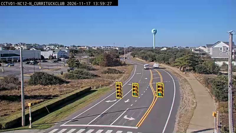
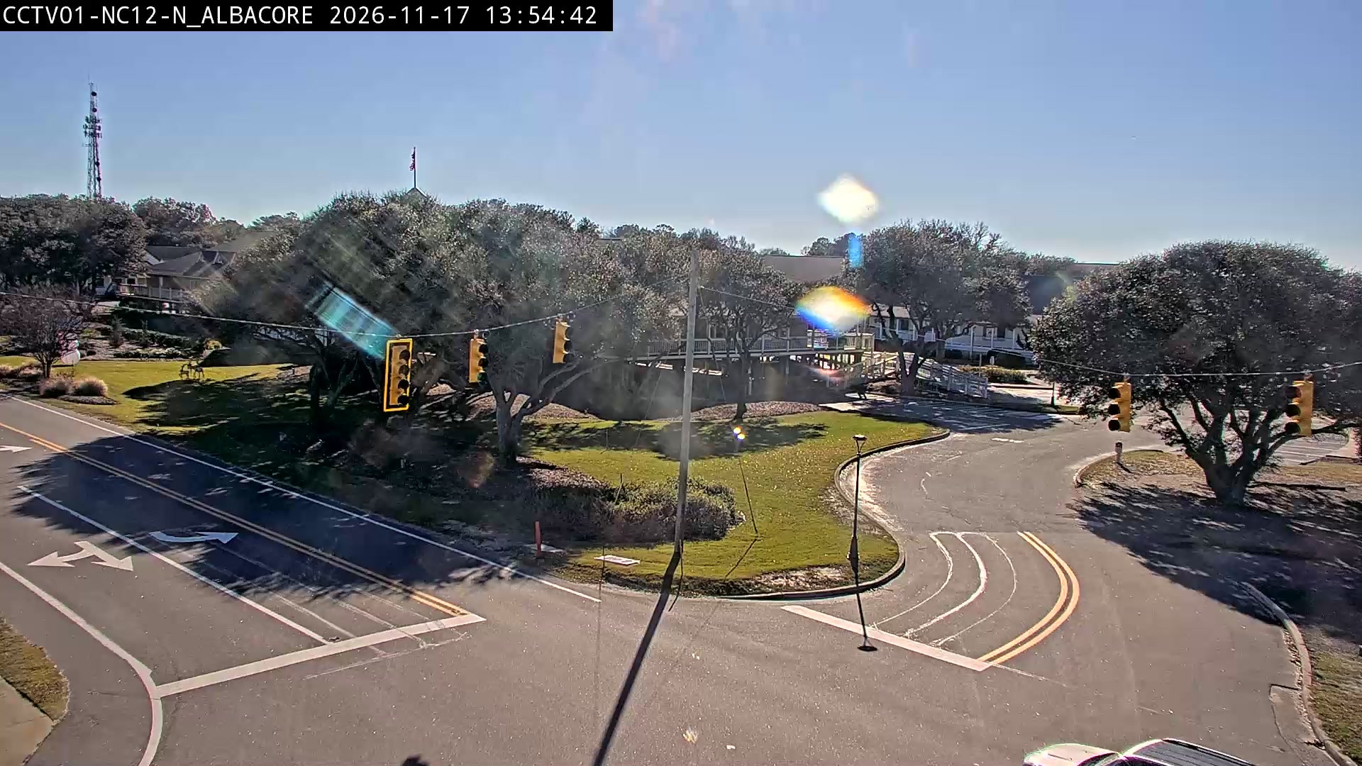
Then check the Carova tide chart; it’s best near low tide. The driving itself is covered in Corolla 4x4 beach and Carova Beach. Headed to a rental house up there? Start with renting a house on the 4x4 beach.
Oregon Inlet and Pea Island
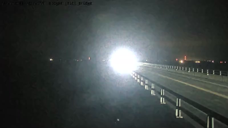
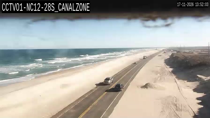
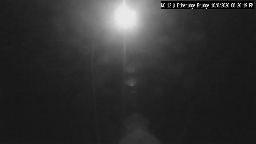
South of Nags Head, Highway 12 crosses Oregon Inlet on the Basnight Bridge and runs down Pea Island, a stretch where the ocean washes over the road in storms. If these look wet or sandy, check DriveNC for closures before heading for the Hatteras ramps.

Hatteras village and Ocracoke
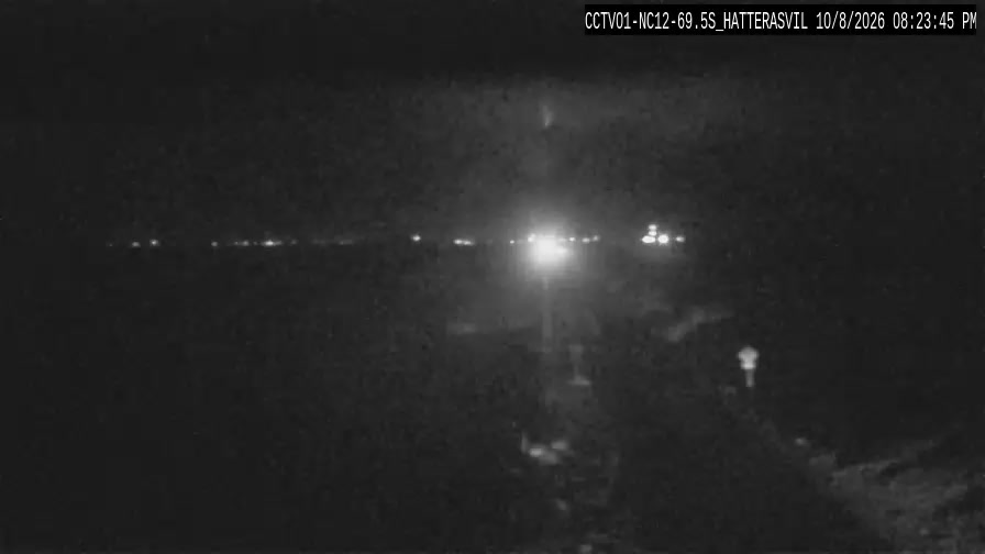

A road camera can’t show you whether a ramp is open. The Park Service posts beach access status for every ramp, and texting CAHAORV to 333111 signs you up for its alerts. Our ramp guide covers each one.
The Hatteras–Ocracoke ferry dock
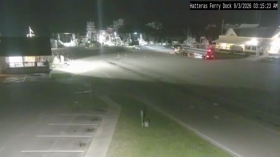
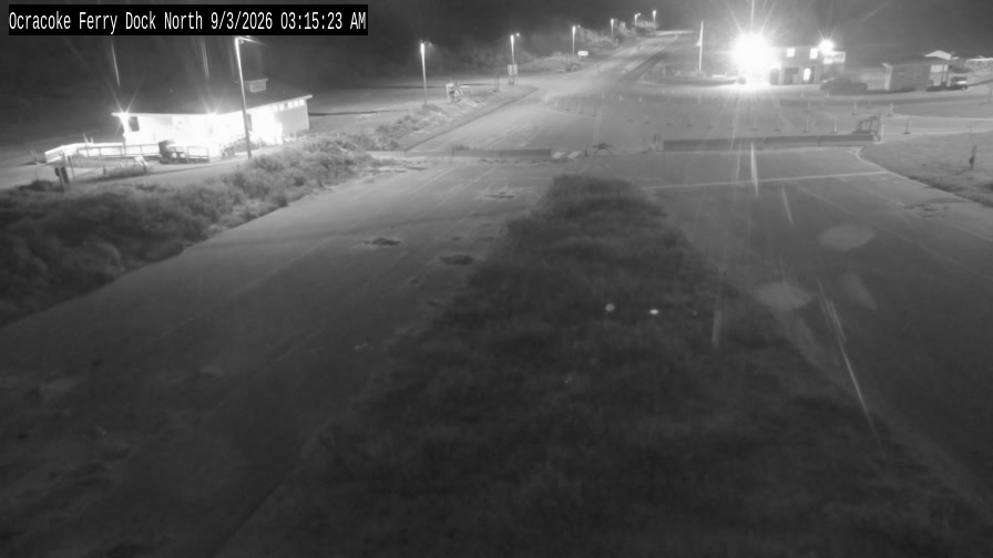
The picture shows how busy the dock is, not how long the wait will be. Schedules, tolls and what the line usually means are in our ferry guide.
Before you drive
- DriveNC for Highway 12 closures and live video.
- The Park Service’s beach access status for the Cape Hatteras ramps.
- The tide chart for the beach you’re driving.
- Our real-time beach conditions guide for flags and flooding.
A camera shows sky, surf and traffic. It can’t tell you how soft the sand is or where the tide will be in two hours.
Frequently asked questions
Is there a webcam on the 4x4 beach at Carova?
Yes. The WebCOOS coastal-observing program runs a camera on the Carova Beach Volunteer Fire and Rescue tower that looks out over the driving beach.
Is there a live camera on Highway 12?
Yes. The N.C. Department of Transportation has cameras on Highway 12 at Corolla, Oregon Inlet, Pea Island, Hatteras and Ocracoke. This page shows their latest snapshots, and DriveNC plays live video from most of them.
Can you see the Hatteras ferry line on a webcam?
Yes. The state’s camera at the Hatteras ferry dock shows the staging lanes. It tells you how busy the dock is, not how long the wait will be.
Where are the Outer Banks pier and surf cams?
OBXmaps keeps the full list of Outer Banks webcams by town, including the pier, harbor and surf cams.